近日,我校测绘地理信息学院智能计算与遥感应用实验室付波霖副教授在沼泽和红树林湿地遥感领域取得重要研究进展,经过专家提名和多轮评审,获得2022年国际学术“最佳研究者奖”(Best Researcher Award(International Research Awards on New Science Inventions NESIN 2022 Awards, Sciencefather))。
相关研究成果以“Spatio-temporal monitoring of marsh vegetation phenology and its response to hydro-meteorological factors using CCDC algorithm with optical and SAR images: In case of Honghe National Nature Reserve, China”(测绘地理信息学院2019级硕士研究生蓝斐芜与导师付波霖为论文共同第一作者)和“Comparison of RFE-DL and stacking ensemble learning algorithms for classifying mangrove species on UAV multispectral images”(测绘地理信息学院2020级硕士研究生何旭与导师付波霖为论文共同第一作者)为题分别在生态环境领域国际顶级期刊《Science of The Total Environment》(SCI一区TOP,2022年IF=10.753)以及遥感领域国际顶级期刊《International Journal of Applied Earth Observation and Geoinformation》(SCI一区TOP,2022年IF=7.672)上发表。以上研究都得到国家自然科学基金、广西自然科学基金和广西八桂学者团队等项目的共同资助,何宏昌教授为论文通讯作者,桂林理工大学为第一完成单位。
论文链接如下:https://www.sciencedirect.com/science/article/abs/pii/S0048969722040876
https://www.sciencedirect.com/science/article/pii/S0303243421002385
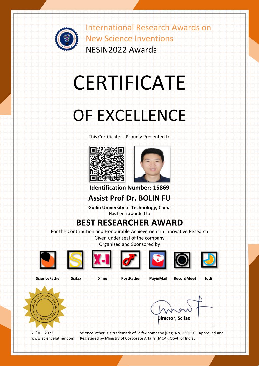
最佳研究者证书